
Technology
The Joint Power of Earth Observation Data and AI Is the Next Frontier in Risk Management
Published by Jessica Weisman-Pitts
Posted on December 8, 2022
4 min readLast updated: February 2, 2026
Add as preferred source on Google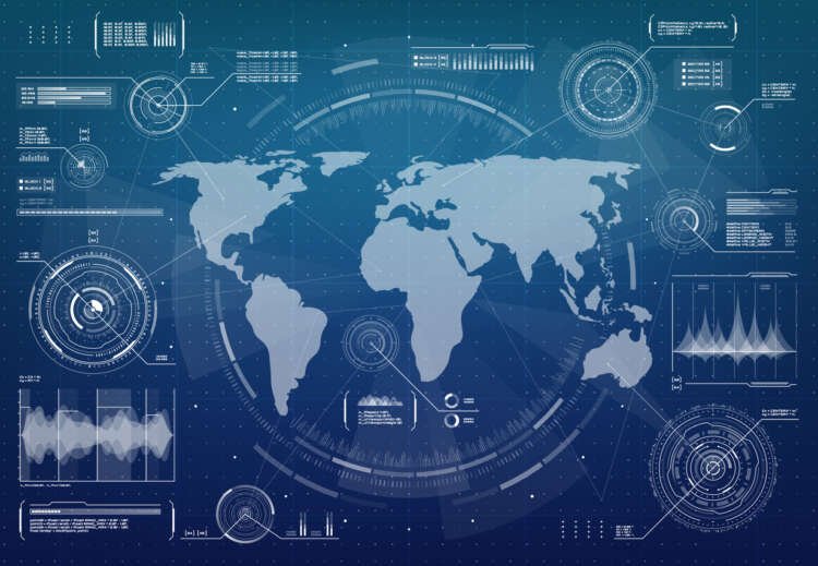
Published by Jessica Weisman-Pitts
Posted on December 8, 2022
4 min readLast updated: February 2, 2026
Add as preferred source on GoogleBy Professor Jim Geach, managing partner at Aspia Space
In recent years, risk managers have turned to space for enhanced insights about the changes and challenges on Earth. Data from Earth observation satellites is increasingly becoming a key tool for risk modelling and risk management, with over 1,000 observation satellites in space watching Earth from above and feeding data back to the ground, helping us to monitor our planet and understand how it is changing over time.
Access to reliable, accurate, detailed information about the state of the land during extreme weather events in particular has become critical for insurers assessing the impact of damage, losses, and managing claims quickly and effectively.
However, there are gaps in the data provided by satellite imagery, which in turn creates uncertainty for insurers who are seeking accuracy and empirical truth.
Worse, the vast amount of data delivered by satellites are often difficult to interpret and use as actionable insights. Patterns are easily missed, and intelligence is hard to identify in the abundance of imagery, so the huge potential of the data is not realised.
Cloud cover is a barrier to EO intelligence for insurers
Cloud cover is currently a major cause of gaps in accurate data from visible-light satellite imagery, particularly in countries with climates such as the UK and Northern Europe. In the UK, between 2018 and 2021, on average approximately 50%* of Sentinel 2 imagery was obscured by cloud cover, with up to 60% of imagery unusable in winter months.
Every time cloud cover obscures the satellite’s view, intelligence for point in time and space is lost. When tracking change over time, the intermittency of data can be considerable – potentially leading to false conclusions and costly mistakes as a result of inaccurate predictions. At times of flooding in countries like the UK, loss of data due to cloud cover is a barrier to effective monitoring and decision-making.
This is where AI comes into play: it allows us to supercharge Earth observation (EO) data. At Aspia Space, our team of astrophysicists, data scientists and deep learning experts have developed a unique algorithm that combines AI and cloud-penetrating Synthetic Aperture Radar (SAR) EO imagery to provide insurers with our patented ‘ClearSky’ service. It harnesses AI to predict full spectrum visible and short-wave infrared imagery of the ground, even when there’s 100% cloud cover.
ClearSky delivers high-resolution cloud-free images of the ground almost anywhere in the world, from entire countries down to a 10m piece of land. Granular detail about changes to the land can be identified and explored, leading to new intelligence and actionable insights for insurers. This information can be integrated seamlessly into client’s existing solutions, to enhance data feeds from other sources, such as meteorology and property data.
Data intelligence gives a clearer picture of the ground
The data intelligence enables insurers to monitor granular risk more effectively, increase forecast accuracy and take informed decisions – based on empirical data – to mitigate risk. Hot spots of environmental and flood risk areas can be more easily identified and more accurately tracked and monitored over time to better predict and manage risk. Insurers can also access near real-time data and intelligence as extreme weather events unfold, so they can better understand the immediate impact on life, land and property and make faster, more effective decisions.
The application of AI also unlocks access to a wealth of previously unobtainable information from satellite observation. ClearSky allows us to unlock a treasure trove of cloud-free historical Earth observation data, dramatically enhancing risk mapping and furthering our understanding of granular trends on the ground over periods of years, as well as over days, weeks and months, and on scales of just a few tens of metres to entire countries.
We are able to identify with more certainty what the risk of factors such as flood and drought are for that specific area of land. These insights can be transformative for detecting anomalies and making informed predictions, from flood risk to crop yield pricing. Importantly, these risks can be regularly updated as new data becomes available – this dynamic risk assessment is essential for insurers to be agile to a changing climate.
Earth observation data combined with AI and human analysis holds huge potential for accelerating more accurate risk modelling and swifter claims management.
Risk management is the process of identifying, assessing, and controlling threats to an organization's capital and earnings. It involves analyzing potential risks and implementing strategies to minimize their impact.
Artificial intelligence (AI) refers to the simulation of human intelligence in machines programmed to think and learn. AI can analyze data, recognize patterns, and make decisions based on information.
Earth observation is the gathering of information about the Earth's physical, chemical, and biological systems through remote sensing technologies, such as satellites and aerial sensors.
Satellite imagery is the use of satellite technology to capture images of the Earth’s surface. It is used for various applications, including environmental monitoring, urban planning, and disaster management.
Data analytics involves examining data sets to draw conclusions about the information they contain. It helps organizations make informed decisions based on data-driven insights.
Explore more articles in the Technology category